Washington High School![]()
Class Of 1983
Vinton Flood - 2008
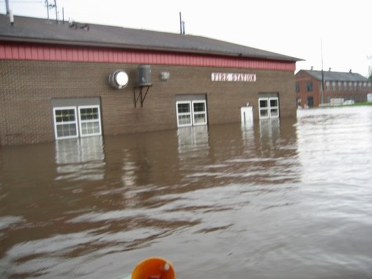
Following are photos taken June 11 - 12, 2008 in Vinton. The Cedar River crested at 24.7' Thursday June 12 morning. The previous all-time record was 19.3' set in either 1993 or 1961. God bless our community and the National Guard! People stepped up quickly to help with sandbagging efforts and there never seemed to be a shortage of volunteers at any time.
March 1, 2009 - The city has just developed "24.7 - The Vinton Area Flood of 2008". You can check out more info or order the video at:
http://www.vintonareafloodfilm.com/
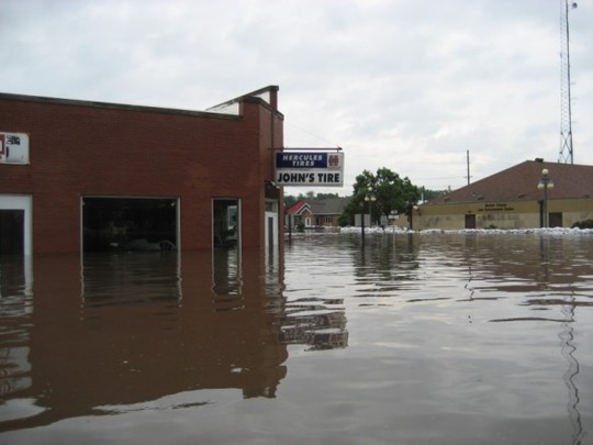
View of John's Tire looking north towards the Cedar River bridge on Hwy 150.

John's Tire - photo courtesy of Charlie Garwood
.jpg)
John's Tire - photo of Charlie Garwood
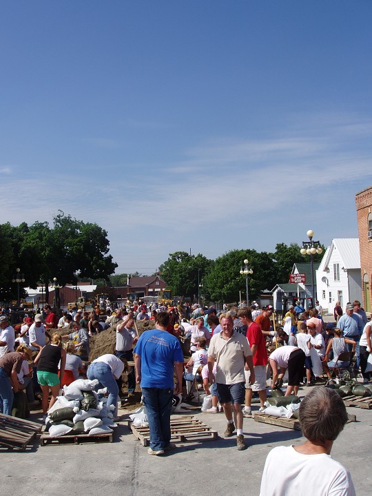
Volunteers and National Guard trying to save the Law Enforcement Center by stacking sand bags all around building. Photo taken from courthouse lawn.
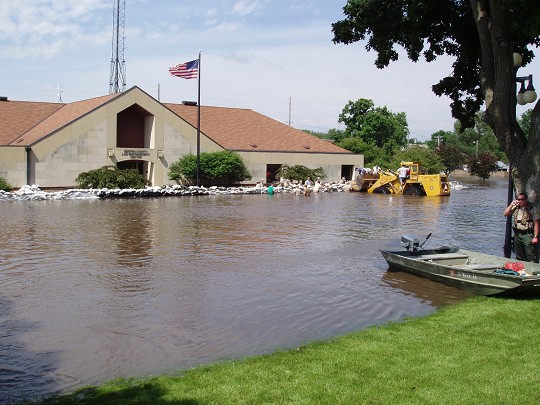
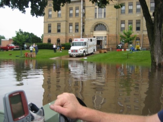
Vinton Court House - photo courtesy of Charlie Garwood
Sand bagging efforts on east side of courthouse

Sand bagging efforts on east side of courthouse
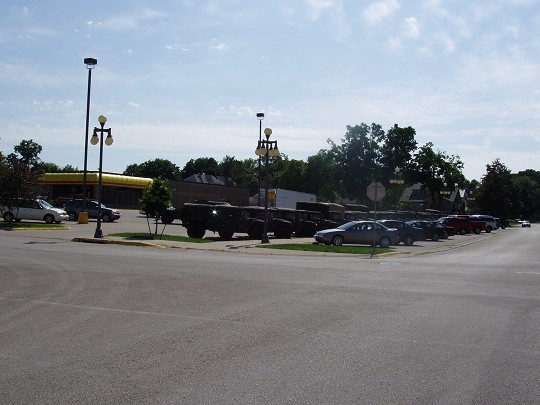
National Guard's humvees and other vehivles parked in Fareway lot
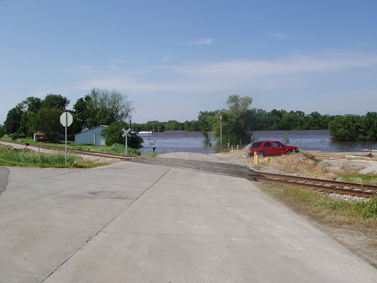
West edge of Vinton just off Hwy 218 looking towards Karr's sandpits
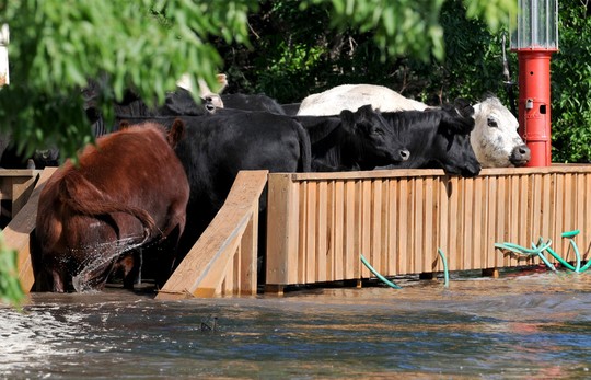
Cows on Charlie Lough's deck who survived the floods.
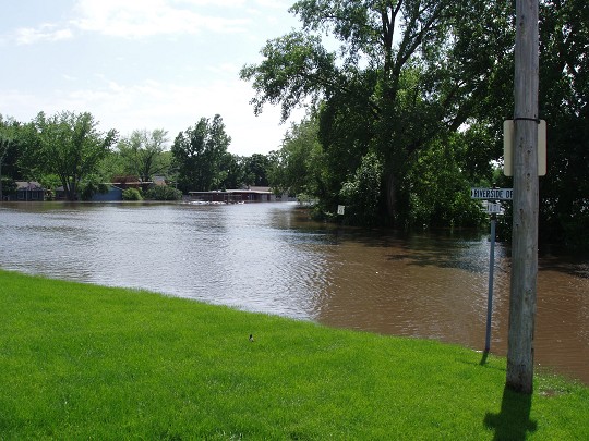
Riverside Drive
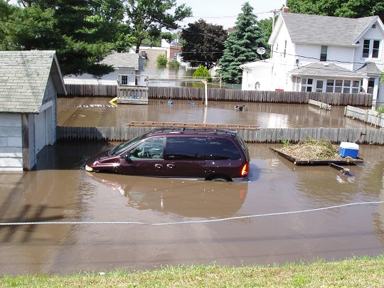
Neighborhood near Vinton city parking lot east of courthouse.
Aerial view of Vinton courthouse and Hwy 150 as it enters from the north. Can see sand bags around Law Enforcement Center.

After all the sand bagging efforts, the water was higher than expected and broke through.

Highway 150 just north of Vinton. Photo courtesy of Dean Williams.

Highway 150 just north of Vinton. Photo courtesy of Dean Williams.

Highway 150 just north of Vinton. Photo courtesy of Dean Williams.
.jpg)
Highway 150 just north of Vinton. Photo courtesy of Dean Williams.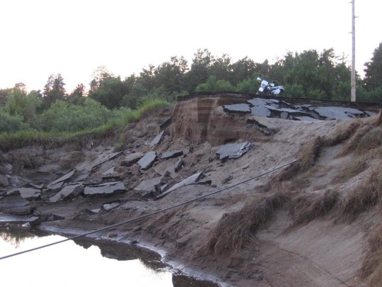
Highway 150 just north of Vinton. Photo courtesy of Dean Williams.

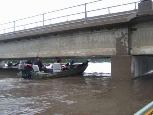
Cedar River bridge - Hwy 150 - on edge of Vinton
Fire Station - photo courtesy of Charlie Garwood